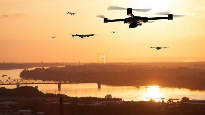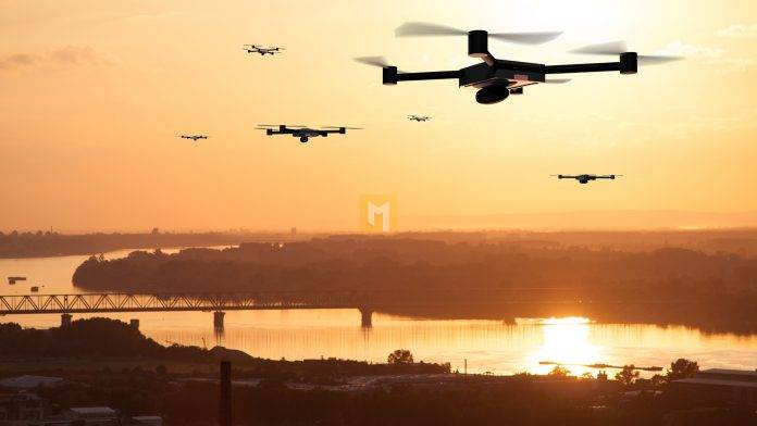
While there are still challenges in consolidating the widespread use of drone technology, RSS-Hydro is leading several innovative projects for the use of drones in water-based risk applications.
There are many remote sensing technologies in both industry and academia – from ground sensors to air and space platforms – and they measure a very wide range of environmental parameters that are important for sustaining ecosystem services, environmental management, traffic and weather. name some of the main areas of application.
Market opportunity for drones
Agriculture is one of the key sectors in which remote sensing, particularly on land and in the air, has made significant progress in recent decades. Recently, it has become one of the major application sectors in the drone market. Drone technology was introduced to the industry more than two decades ago.1 Today, agriculture (crop monitoring) is the second and sixth largest market for drone-based solutions, with an estimated potential value of $32.4 billion. the insurance industry (for monitoring and risk assessment) with a market value of $6.8 billion.
Another area of application of drone-based solutions is disaster management, especially during natural disasters such as floods. On the other hand, drones can be useful before a flood occurs by collecting a lot of information about critical infrastructure and supporting flood risk assessment efforts. On the other hand, drones can be useful after a flood to assess the extent of the flood and damage
Industry Challenges
Obviously, drones are very useful and have great market growth potential; however, there are several challenges associated with using drone technology. These challenges are mainly addressed in Europe, where new regulations restrict the use of drones, especially for non-certified drones. The goal is to create a controlled environment and increase security while using drones in various industries thanks to a “booming market”. a series of precautions to comply with regulations. Unfortunately, in some cases this can prove to be much more complicated than expected, especially with risk assessments or a specific category.
That is why there are national drone associations in many European countries and elsewhere that want to support companies with these measures. The latest addition to this international network of federations is the Luxembourg Drone Federation (LDF), of which RSS-Hydro is a founding member. The main purpose of LDF is to help members develop a simplified aviation licensing procedure for aircraft operators. Therefore, LDF also acts as an intermediary between the airlines and the Luxembourg Ministry of Civil Aviation (DAC) by approving flights to facilitate exchange and compliance. LDF also cooperates with the administrations of the neighboring countries.
Research and Development Opportunities
Thanks to the high flexibility and easy acquisition of drone technology, they have become an asset in many innovative research and development projects. RSS-Hydro leads several innovative research and development projects that combine computer modeling with the latest remote sensing techniques, including satellite and drone imagery.
In one of his projects, RSS-Hydro studies drone technology to map the conditions of plants and crops affected by drought. Since the effects of drought in agriculture depend on a number of local factors, such as soil, yield and growth stages of crops, information with a very high spatial resolution is needed to assess local effects. The aim of the project is to develop and set up a drone-based drought monitoring service that can be activated when drought is expected in a particular area.
More generally, it is known that drones can be used to monitor crop conditions from the start of the growing season through to planning and harvest. Advanced analysis enables monitoring of soil moisture and determination of fertilizer needs. To meet the growing demand for food and improve current water use, many are currently considering new technologies such as the Internet of Things (IoT), Big Data and Artificial Intelligence (AI). It is estimated5 that 80% of all drones in the future will be used in precision farming technologies (PAT), including detecting damage caused by drought, flooding, hail or wildlife, as well as smarter irrigation management and adequate crop protection.
The fact that drones can overcome many of the limitations faced by satellites in terms of spatial resolution and mission flexibility makes them an important asset in many applications. Therefore, drones can be deployed to support vulnerable communities that are badly affected by climate change, for example in Africa and Asia. Finally, the insurance industry can also take advantage of such index-based solution technologies and develop its own insurance products accordingly.
RSS-Hydro also uses drones to monitor flooding and related processes. This data is used to assess their flood risk models and to validate satellite products in some research and development projects supported by the European Space Agency (ESA).
Humanitarian Aid and Aid Development Opportunities
Drones are widely used in emergency situations, especially in a humanitarian context. Mapping the magnitude of disasters and post-event damage is crucial for rapid humanitarian aid. The rapid adoption of drones makes them of great use, especially in remote and hard-to-reach areas.
In the context of flood disasters, the United Nations World Food Program (UN WFP) and its partners have worked with Mozambique’s National Disaster Management Institute (INGC) to improve flood warning and preparedness using drone technology. By taking thousands of aerial photos from a drone and running them on a large computer, a highly accurate flood risk model has been created to more quickly predict and identify people at risk. This has been tested in the flood-prone care area around Mocuba (Mozambique, Africa). The larger goal is to extend this work to other flood-prone areas where the WFP operates, to help communities better prepare and become more resilient.
Development aid projects also aim to introduce drone technology as an additional tool for obtaining important local information. Together with regional and local public and private partners in Niger and Europe, the RSS-Hydro SEMOR development aid project addresses the current data challenge in the Niger River Basin by proposing an accessible and sustainable space-based ICT solution for flood development . forecast and warning model for the area. The system combines flood modeling with small, low-cost water level sensors, open access satellite Earth observation data and drone imagery. The project also focuses on capacity building and training workshops on Earth observation, drones and the use of models of water hazards (floods and droughts) in the effects of climate change.
The future of drone technology
Drones have many advantages. Drone technology can provide high-quality products or services as well as first-class cost-effective and customized solutions. Drones are of particular interest as low-cost, non-contact alternatives to small aircraft for obtaining highly accurate data from areas generally too small to allow satellites to detect every detail. Plus, they help keep manned aircraft cheap.
Despite the tightening of regulations governing the use of drones, the commercial and research and development opportunities for drones are promising and growing rapidly. Market forecasts for the use of drone technology look promising and technological innovations in drone production and sensor development offer many new growth opportunities.
